THE BIGGEST METROPOLITAN
PARK IN THE COUNTRY
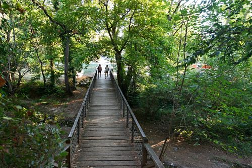
The great natural treasure of Sant Cugat is Collserola, a vast park with endless possibilities to enjoy nature and a healthy life. A paradise for walkers, cyclists, runners and horse riders. With over 8,000 hectares, it is considered the biggest metropolitan park in the country.
Sant Cugat is the city with the largest area included in the Serra de Collserola Natural Park, with 44%. It covers two partial natural reserves: the Font Groga and the Rierada-Can Balasc. The Park is a protected area and forms part of the Plan for Spaces of Natural Interest (PEIN) and the European network of natural areas Natura 2000.
Remember that it is a fragile ecosystem, with regulations that must be respected.
YOU CANNOT GET LOST
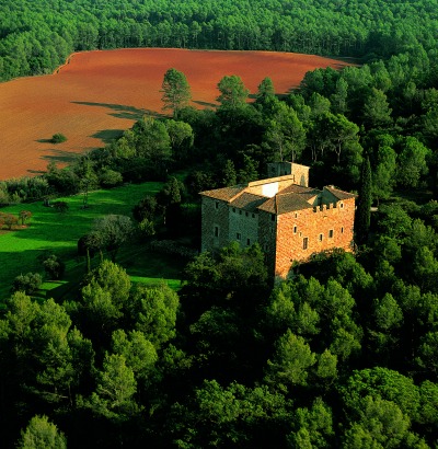
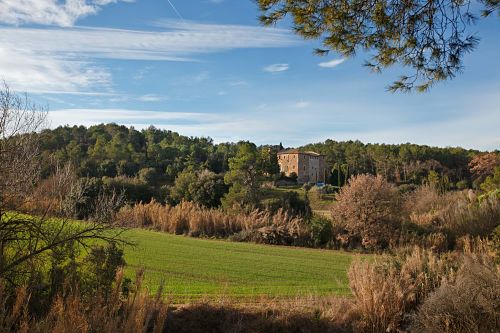
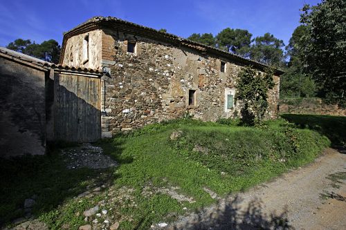
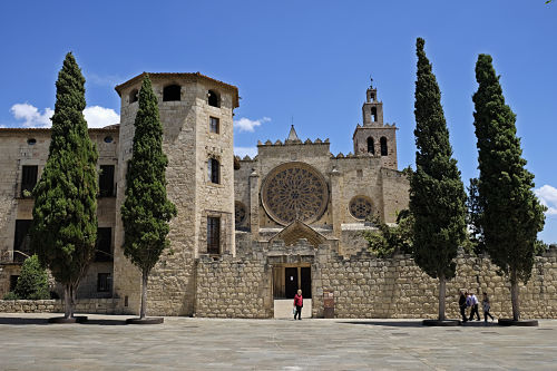
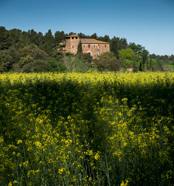
The Torre Negra country house has its origins in a very well preserved 12th century defence tower, used to resist the incursions of the Arabs and populate the area. The square-shaped tower and the medieval elements such as the windows and the semicircular front gate stand out.
According to legend, in the Torre Negra there were mines connected to the Monastery through which the monks could escape in case of attack. Guided tours on weekends.
Coordinates:
41º28’47.818”N
2º08’58.958″E
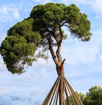
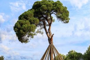
The Pi d’en Xandri is considered another of the symbols of the city. It is a pine tree over 250 years old and 23 metres high.
Coordinates:
41º28’2.722”N 2º06’2.046″E
41º28’47.818”N 2º08’58.958″E
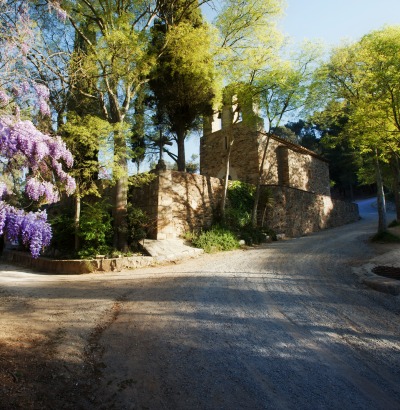
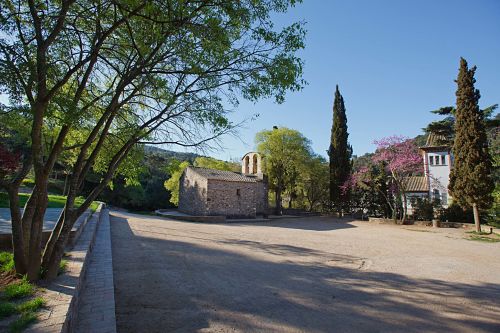
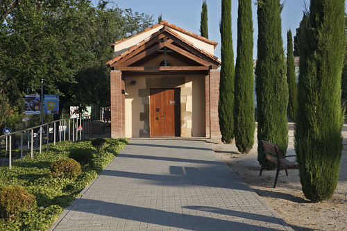
The beautiful 10th century Romanesque shrine is surrounded by a lush holm-oak wood. Sant Medir is the co-patron saint of Sant Cugat and is celebrated on 3 March. The festivity includes a special mass, sardanes (traditional Catalan dances), castells (human towers) and a celebratory meal in the shrine.
Coordinates:
41º26’37.303”N
2º07’16.896″E
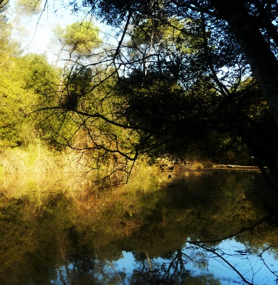
Coordinates:
41º27’5.733”N
2º06’41.043″E
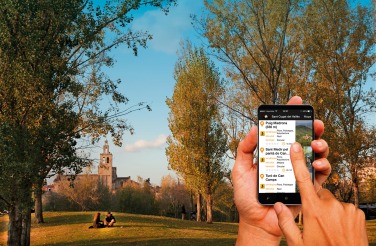
Natura Local mobile app
It provides four self-guided routes lasting between one and two hours.
App available from the App Store and Google Play.
Languages: Catalan, Spanish, English and French.
OFFICIAL ROUTES RECOMMENDED ON WIKILOC
Explore Collserola Natural Park from Sant Cugat following official itineraries published by public entities on the Wikiloc platform. As they have been shared from Wikiloc ORG accounts, tracking from the app is free for everyone.
ROUTES AND EXCURSIONS IN COLLSEROLA
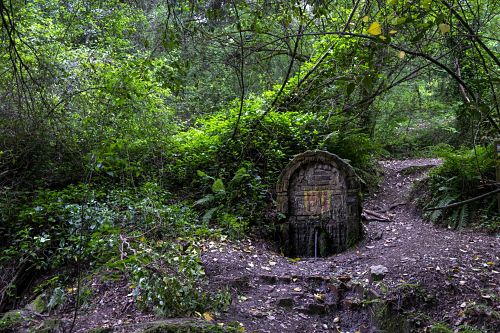
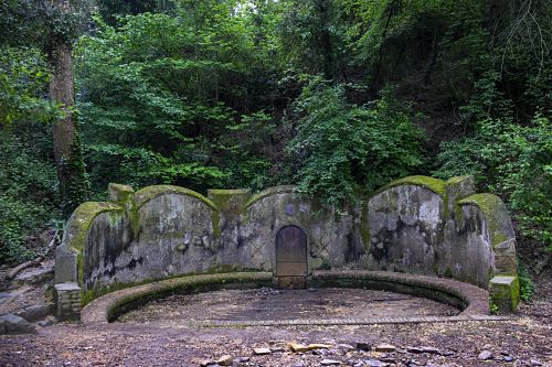
We propose twelve itineraries of various lengths and difficulties, which go through some of the most emblematic points of the park of Collserola: the pine of Xandri, the chapel of Sant Medir, the church of Sant Adjutori, the reservoir of Can Borrell, the fountain Groga (yellow) … are places where small and large can enjoy good views, see impressive trees, discover heritage, always enjoying nature to touch the city.
You will find the itineraries detailed in each file and you can download them to follow them while you are doing the tour.
Private property must be respected, disturbance to wildlife must be avoided and damage to vegetation must be avoided. It is also obligatori to take the waste home. Remember that the regulations of Collserola Park regulate the movement of domestic animals into the Park, dogs must be on a leash. Most of the fountains in the Park are natural and untreated, the city council carries out annual analytics and signals the areas analyzed with the results. It is advisable to provide yourself with water before starting your excursions. The estimated times are calculated taking into account the stops at the points of interest.
If you come by bicycle, use the road map for cycling, give way to pedestrians and remember that you cannot go beyond 20 km / h. In the same way, remember that you can only circulate through the “network of cycling use of the park”, that is, those roads that are +3 meters wide.
** The access of the stairs to the swamp of Can Borrell remains closed.
You can download a pdf of each route. At the end you will find three links:
The first corresponds to the topographic map
The second and third are the tracks of the routes. You must have Google Earth for the kmz format and Wikiloc for the gpx format.
You can download the applications to your mobile, they are available in Google play and App store.

